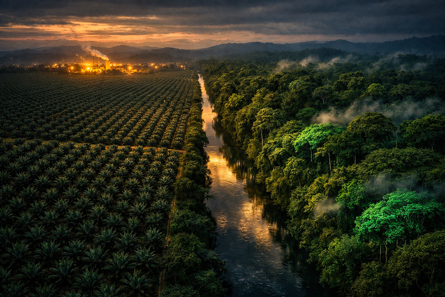
Mature forests across the United States are absorbing about 102 teragrams of carbon a year that the satellite tools underpinning much of global forest monitoring cannot see. That is the central finding of a study published this week in Nature Ecology & Evolution by researchers at the University of Maryland, and it carries a direct consequence for carbon markets: credits and baselines built on satellite-derived biomass data may be systematically undervaluing standing mature forests, while rewarding the young plantings satellites can measure. The gap, roughly equivalent to the annual emissions of 80 million cars, is not a rounding error. It is a structural bias in the measurement layer that buyers, verifiers, and modelers rely on.
What the Study Found
The research, led by assistant research professor Lei Ma with co-authors including professors George Hurtt and Ralph Dubayah, combined three independent evidence streams across the contiguous United States: repeat airborne lidar surveys, the US Forest Service’s Forest Inventory and Analysis (FIA) ground plot network, and observations from NASA’s GEDI spaceborne lidar. All three showed widespread increases in forest structure and biomass. Widely used satellite biomass products, by contrast, captured almost no additional accumulation once forests exceeded roughly 16 meters of canopy height.
That threshold matters because mature forests account for about 72 percent of forest area in the contiguous US. The satellite analysis covered 1993 to 2019, long enough to separate a real trend from year-to-year noise, and the height-dependent saturation was consistent across all forest types and regions examined. The result is a stark divergence: inventory and lidar data show mature stands gaining around 102 Tg of carbon per year, while satellite estimates for the same forests sit near neutral.
Why Satellites Catch Losses but Miss Gains
The mechanism is physical, and it is asymmetric. Passive optical satellites such as Landsat and Sentinel-2 measure sunlight reflected from the top of the canopy. In young or short stands, that reflectance tracks biomass closely. Once a canopy closes and trees grow past the 16-meter mark, the surface becomes optically saturated: it looks essentially the same whether the trees beneath are adding a little wood or a lot.
When trees are cut or burned, the canopy opens and reflectance shifts sharply, so the loss registers immediately. When a tall forest keeps growing quietly, nothing changes at the surface, so the gain registers not at all. A monitoring stack built mainly on passive optical imagery therefore preferentially records deforestation and degradation while undercounting the sink, which is precisely the opposite of what carbon accounting needs.
The Credit Valuation Problem
For voluntary carbon markets, the practical exposure runs through baselines and MRV. Project developers and ratings agencies have moved heavily toward satellite-derived biomass data because it is cheap, frequent, and wall-to-wall. This study quantifies the cost of that convenience for any methodology that credits improved forest management or avoided harvesting in mature stands: if the reference data cannot see continued accumulation, the climate value of protecting those stands is understated, and the credits issued against that protection are priced against a baseline that misses real carbon.
The same bias runs in the other direction for afforestation and reforestation. Young plantings are exactly the forests satellites measure best, so ARR projects sit on the most observable part of the carbon curve while mature-forest conservation sits on the least observable. A market that rewards what is measurable rather than what is climatically largest will over-allocate capital to new planting relative to protection of existing stocks. The authors note the observational gap is unlikely to be unique to the US, which puts the same question to tropical and temperate projects worldwide.
The Model Calibration Risk
The problem does not stop at credit issuance. Dynamic global vegetation models, the tools used to project how the land sink behaves under future warming, are calibrated partly against satellite-derived biomass observations. If those observations carry a built-in underestimate for mature forests, the models may have absorbed it as a baseline, biasing projections of future sink strength downward. Recent satellite-based studies suggesting the land carbon sink is weakening may partly reflect sensor limits rather than forest behavior, the researchers argue.
There is one important exception. The USFS FIA program, the authoritative basis for US greenhouse gas inventory reporting to the UNFCCC, is ground-based and does capture the 102 Tg annual gain. National inventory pipelines anchored in field plots are closer to reality than frameworks that lean primarily on satellite products.
What Buyers and Investors Should Watch
Three watch items follow. First, methodology and ratings updates: expect pressure on registries and ratings agencies to disclose how much weight their biomass benchmarks place on passive optical data, and to integrate lidar or inventory cross-checks for mature-forest projects. Second, the monitoring pipeline itself: NASA’s GEDI lidar, reinstalled on the International Space Station in April 2024, plus ICESat-2, airborne campaigns such as NEON, and the upcoming NASA EDGE mission, are the instruments that close this gap, and the study explicitly argues for fusing all three with ground plots rather than trusting any single stream. Third, relative value: if the finding holds up under replication outside the US, mature-forest conservation and IFM credits priced off satellite-only baselines look systematically cheap against their actual sequestration, a diligence angle buyers can test today by asking which sensors sit behind a project’s numbers.